Our programs
Choose your pathway
Internationally recognised certifications delivered through flexible online theory and intensive hands-on field training.
S-5B Hydrographic Surveying
Build the practical competencies required for operational hydrographic survey roles. Covering the full survey workflow from planning and data acquisition to processing, QA/QC, and final product delivery.
Flexible online theory
15 weeks of instructor-led content delivered via Blackboard Learn across a 31-week access window. Study at your own pace alongside your career.
Hands-on field training
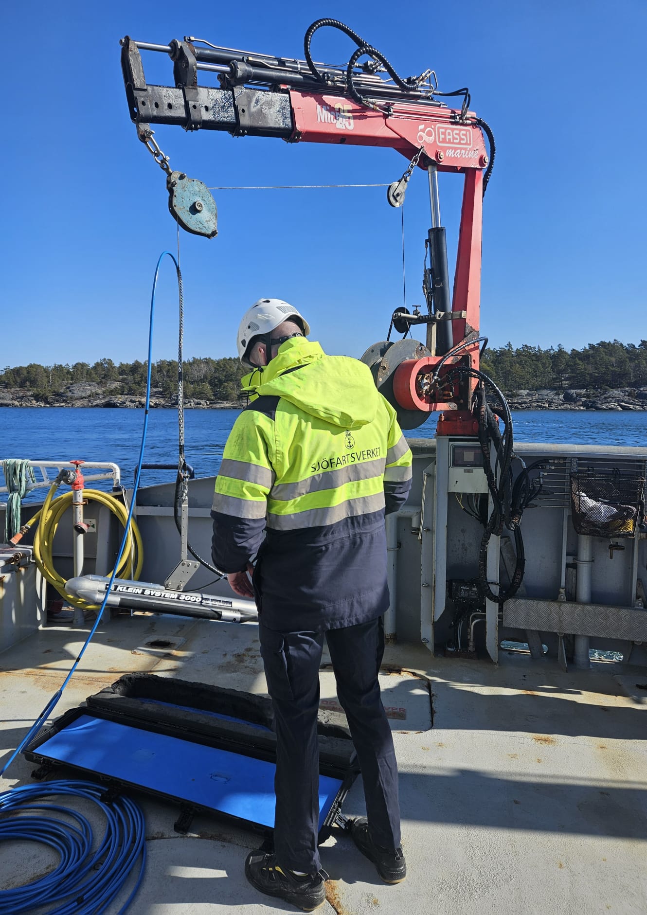
3 weeks practical training plus a Comprehensive Final Field Project (7 weeks consecutively in person) using professional survey equipment in a real operational environment.
S-8B Marine Geospatial Information
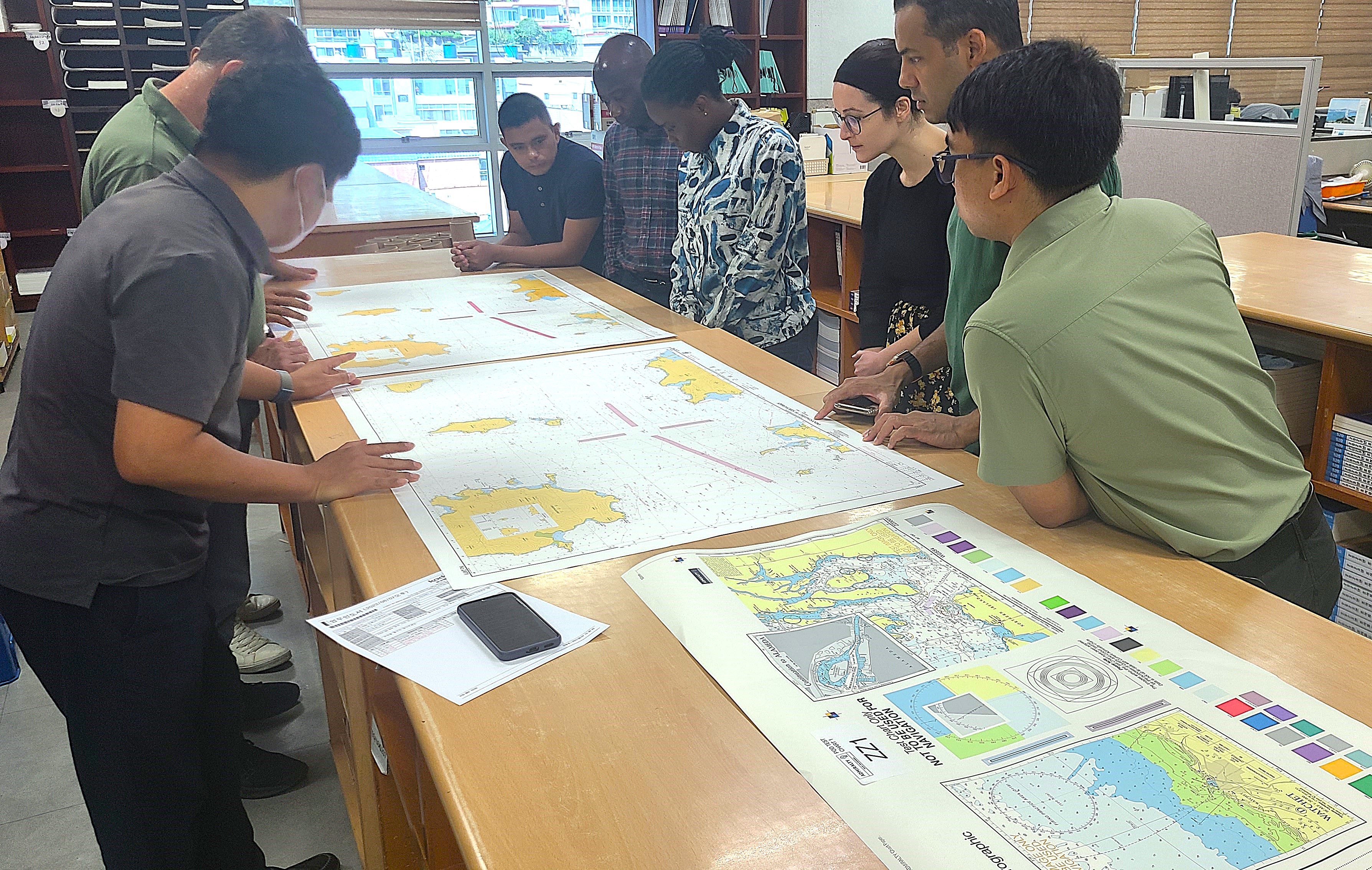
Develop core competencies for modern nautical chart compilation and production workflows. This program prepares graduates for operational roles in marine geospatial information and chart production environments.
Instructor-led theory
Online modules delivered September through April with live webinars, guided exercises, and structured assessments.
Hands-on field training
A 4–6 week capstone project applying everything learned to a real chart production workflow.
S-100 Training & Seminars
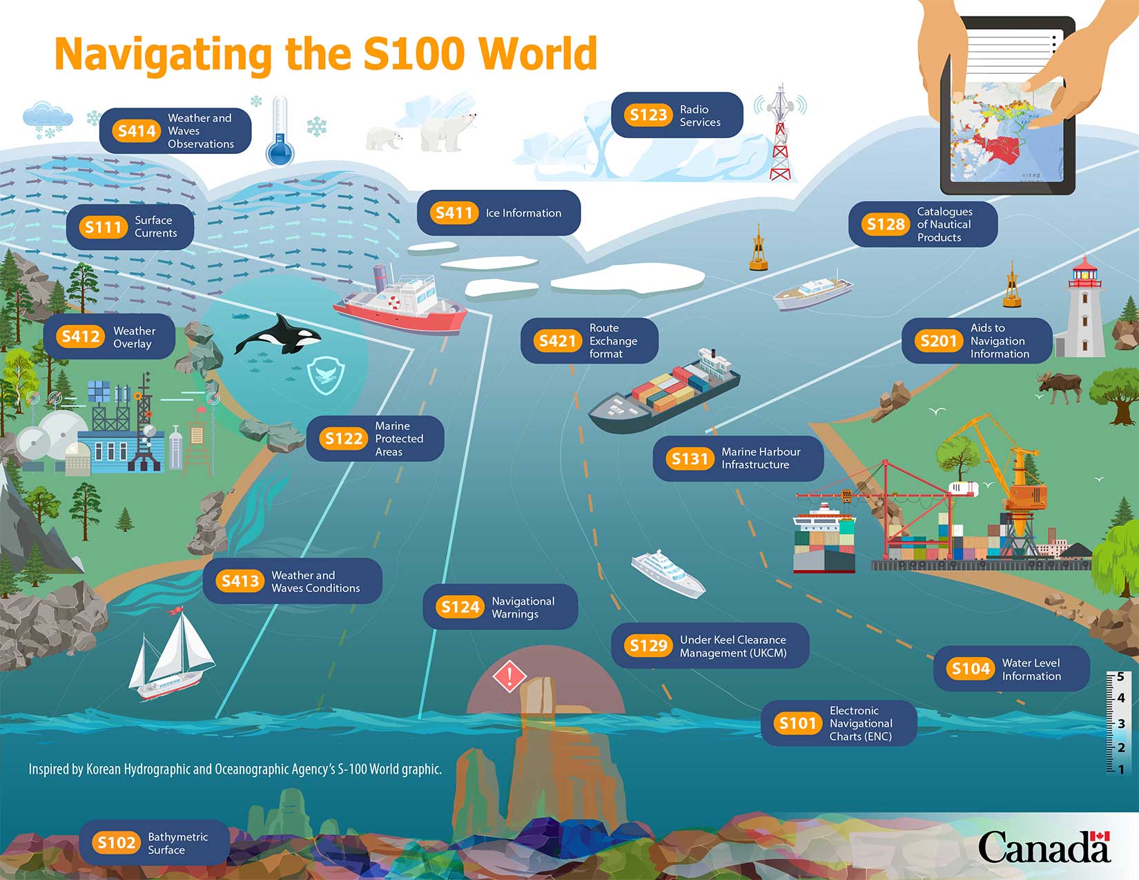
S-100 is the IHO Universal Hydrographic Data Model designed to cater for future demands for digital products and services. IIC Academy delivers targeted training drawing on direct involvement in S-100 implementation worldwide.
For organizations & professionals
Designed for hydrographic offices, port authorities, maritime organizations, and geospatial professionals preparing for the S-100 transition.
Standards & implementation
Covers the S-100 framework, product specifications, transition from S-57, and practical implementation planning.
In the field