IBSC Category B Program

S-5B Hydrographic
Surveying

Hydrography & Marine Survey Operations

Request Program Details

About the Program

Built for the Real World

Hydrographic surveying plays a critical role in safe navigation, coastal development, marine environmental management, and national infrastructure. The S-5B program offered by IIC Academy provides the competencies required to support these activities in a modern survey environment.

Recognised by the FIG/IHO/ICA International Board on Standards of Competence (IBSC), this program provides a structured learning pathway combining online theoretical instruction, guided practical exercises, onsite field training using professional survey equipment, and a Comprehensive Final Field Project.

Graduates receive a Certificate of Completion of a Recognised Program — your first step on the path to becoming a Certified Hydrographer.

S-5B Hydrographic Surveying
15
Weeks

Online theory across a 31-week access window

7
Weeks Onsite

3 weeks practical + 4 weeks final field project

12
Modules

Covering the full S-5B competency framework

1st
Certification Step

Your path to becoming a Certified Hydrographer
IBSC

Recognised by the FIG/IHO/ICA International Board on Standards of Competence — Category B. Also available in Spanish and French, the official languages of the IHO alongside English.

Program Delivery

How the Program Is Delivered

Theory is delivered online by default, with select cohorts able to access on-site delivery through partner institutions depending on region — the program is flexible to both formats.
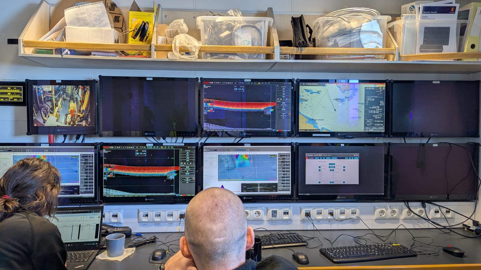
Online or On-Site Theory
15 Weeks / 31 Week Access
Online or On-Site Theory
  • Live webinars introducing each module
  • Recorded lectures, readings, and guided exercises
  • Quizzes and exams marked by instructors with feedback
  • Progress dashboards and instructor messaging
  • Access via Blackboard Learn LMS on any device
Practical Training
3 Weeks Onsite
Practical Training
  • Set up GNSS and land survey control
  • Install and verify a tide gauge
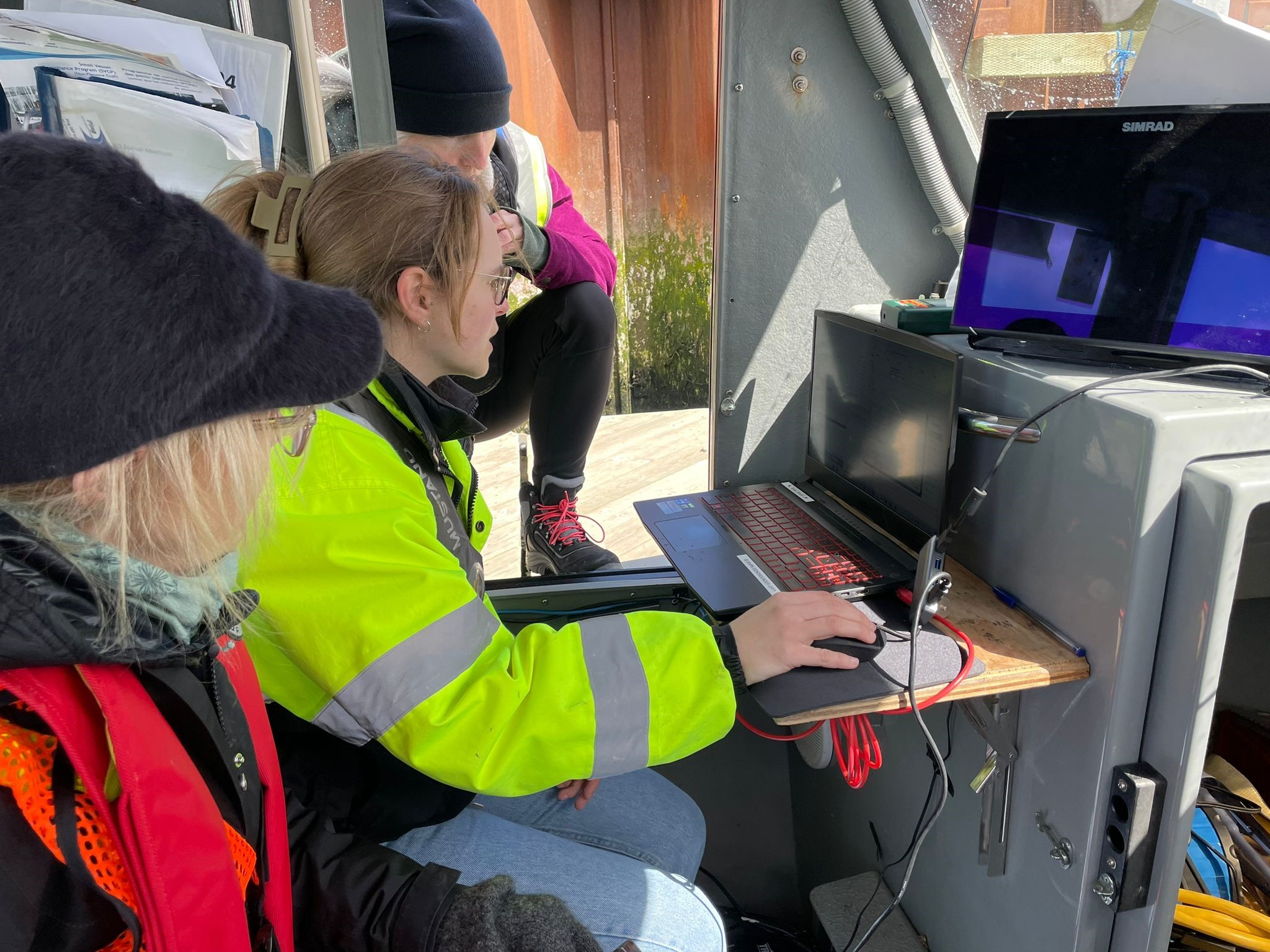
  • Mobilise a survey vessel and calibrate sensors
  • Acquire multibeam, single-beam, and side-scan sonar data
  • Collect sound speed profiles and sediment samples
  • Initial processing and quality checks
Final Field Project
4 Weeks Onsite
Comprehensive Final Field Project
  • Plan the survey — area, lines, coverage, standards
  • Mobilise the vessel and equipment
  • Acquire all required data
  • Process and clean the datasets
  • Create bathymetric surfaces and supporting products
  • Prepare and present a final report with charting recommendations

Learning Management System

Blackboard Learn

All theoretical content is delivered via IIC Academy's cloud-based LMS, accessible on desktop, tablet, and modern mobile devices. Each module starts with a live webinar and continues with supervised and self-paced study.
Live & Recorded Webinars Discussion Forums Instructor Messaging Assignment Submission Progress Dashboards Supplemental

Program Schedule

Typical Program Timeline

Programs combine online theory with on-site practical training, and in select regions may be delivered fully on-site. Dates are tentative and may vary slightly depending on intake and region.

Phase 1
August

Students gain access to the Self-Guided Introductory Module. Explore the LMS, review foundational material, and prepare for instructor-led content.

Phase 2
September — March

Formal online theory begins. Students attend live webinars, complete structured modules, and participate in guided exercises and assessments.

Phase 3
March

All theoretical modules, assessments, and exams are finalised. Students confirm eligibility to progress to the onsite practical phase.

Phase 4
April — June

Onsite practical block (3 weeks) followed immediately by the Comprehensive Final Field Project (4 weeks). Timing varies by region — e.g. New Zealand, Canada, Sweden.

Prerequisites

Who the Program Is For

This Program Is Designed For
  • Individuals beginning the hydrographic certification process
  • New graduates seeking a technical route into hydrographic surveying
  • Employees sponsored by hydrographic offices, ports, or survey companies
  • Early-career professionals working in survey, GIS, or marine science
Entry Requirements
  • High school diploma or equivalent
  • At least two years of additional education in GIS, geography, physics, maths, computer science, IT, or a related technical discipline
  • English language proficiency sufficient to follow technical training (e.g. TOEFL or equivalent)
  • Physical capability to perform duties on board a vessel as part of the crew